Secure Your Investment With Verified Confidence
Comprehensive land verification, surveying, and geospatial services for investors across all 47 counties of Kenya.
Protecting your land investment through rigorous due diligence
LandSecure provides professional land verification, surveying, GIS mapping, and environmental planning services across Kenya. Whether you're a diaspora investor purchasing property remotely or a local landowner seeking boundary clarity, our professional surveyors and legal researchers deliver the certainty you need to proceed with confidence. We work nationwide, with a 2–5 day turnaround on standard verifications.

Services Built for Landowners & Investors
End-to-end solutions covering every stage of land ownership, from initial verification to development planning.
Land Verification & Due Diligence
Our flagship service. Multi-layer verification including title deed authentication, registry cross-checks, and physical field verification to confirm genuine ownership and prevent fraud.
- Title Deed & Ownership Verification
- Registry Cross-Reference & Encumbrance Search
- Boundary Confirmation & Dispute Resolution
- Ground Truthing & Physical Inspection
- Land History & Legal Compliance Review
Land Surveying
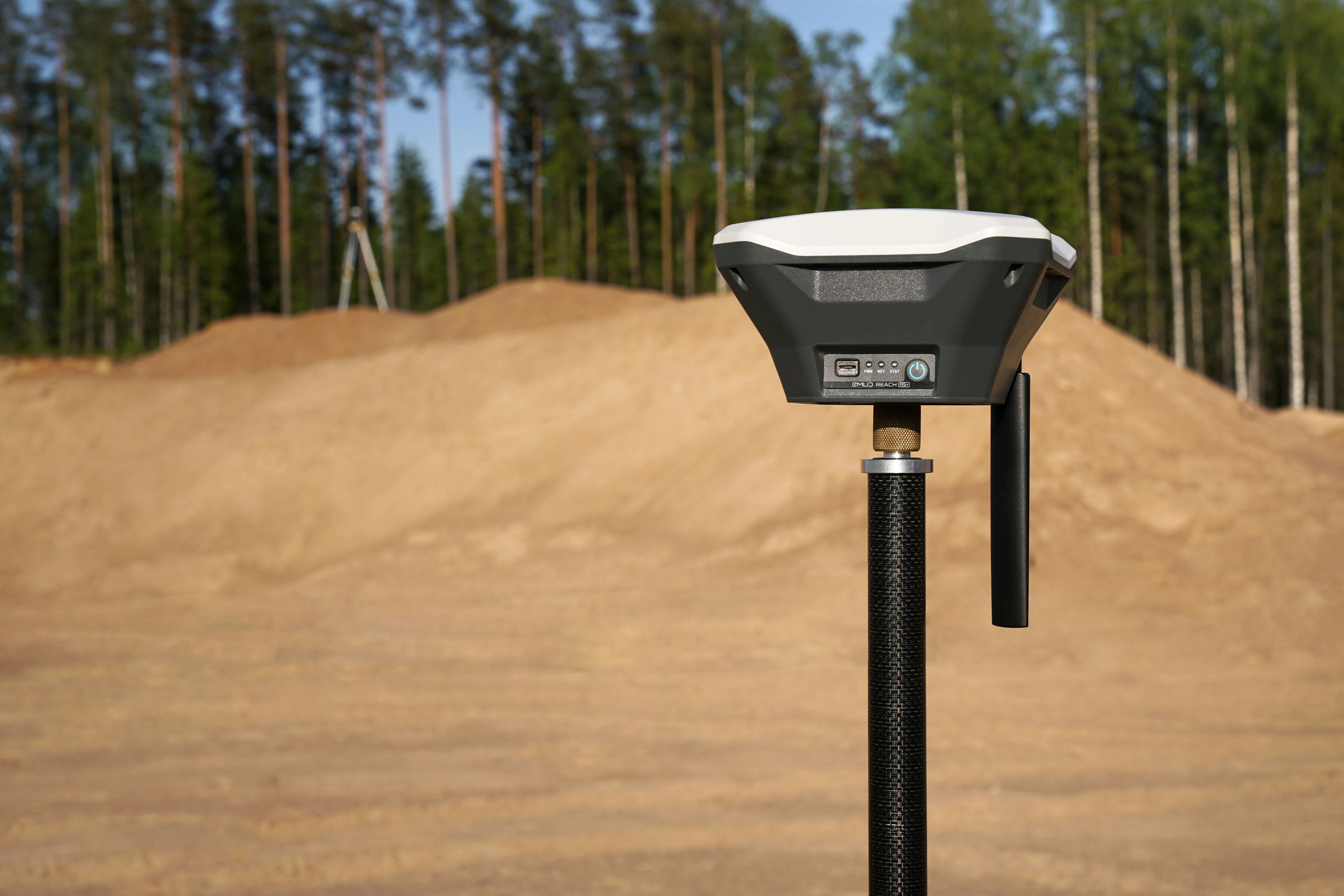
Precision cadastral, topographic, and engineering surveys using modern GPS and drone technology.
- Cadastral & Sectional Surveys
- Topographic & Engineering Surveys
- Aerial & Drone Mapping
- Construction Layout Surveys
Planning Advisory
Strategic physical and regional planning to maximize property potential and ensure regulatory compliance.
- Physical & Regional Planning
- Subdivision & Scheme Design
- Zoning & Land Use Analysis
- Feasibility Studies

Geospatial Solutions
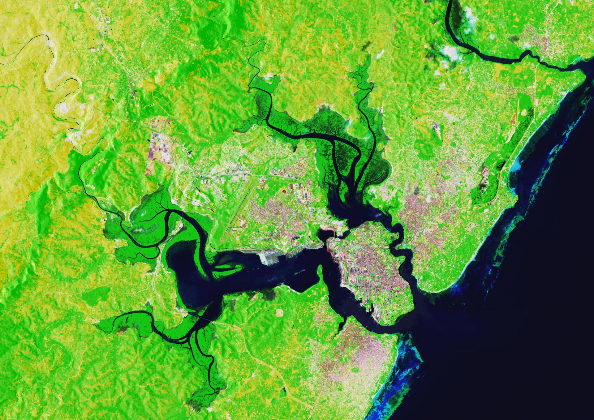
GIS mapping, spatial analysis, and remote sensing for data-driven land management decisions.
- GIS Mapping & Analysis
- Remote Sensing Applications
- Web GIS Development
- Spatial Data Management
Environmental Services
Environmental impact assessments, audits, and sustainability planning for responsible development.
- EIA / ESIA Assessments
- Environmental Audits
- Sustainability Advisory
- Climate Resilience Planning

How a Verification Moves From Inquiry to Report
The same four stages, whether you're across the county or across the world. See the full process →
Inquiry & Scope
Tell us the county, the parcel, and what you need: verification, survey, or both.
Registry Check
We cross-check the title deed, ownership history, and encumbrances against official records.
Field Verification
A field team confirms boundaries and ground-truths the parcel against the paperwork.
Report & Next Steps
You receive a clear findings report within 2–5 working days, with a recommendation.
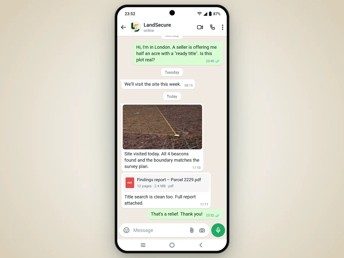
Buying land from abroad shouldn't mean buying blind
We inspect the plot, verify the seller's title, and send you a findings report with photos and coordinates, so you can make the call without flying home first.
See Diaspora Services →Common Questions
LandSecure conducts multi-level due diligence including title deed authentication, registry cross-checks, survey data verification, and local authority validation to confirm genuine ownership and prevent fraud.
Yes. LandSecure offers diaspora-focused verification and surveying packages to help clients abroad confirm ownership, inspect plots remotely, and complete transactions securely in Kenya.
LandSecure works nationwide. We provide verification, surveying, and GIS services in every county, including Nairobi, Kiambu, Nakuru, Mombasa, Machakos, and Kisumu.
A standard verification typically takes 2–5 working days depending on the location and availability of land records.
LandSecure combines professional surveying, GIS mapping, and official registry searches in one service, so diaspora and local investors get clear, documented answers before they commit.
Request Professional Assistance
Tell us about the parcel and a project director will follow up with next steps.
Service Inquiry Form
Fields marked * are required.